FarmDataViewer is farm management software built for farmers, agronomists, farm teams, and trial managers. Use it to organise your agricultural data — from field mapping and boundary management to task planning and field observations. Manage everything in one place, on the web platform, the mobile app, or via the API.
Map Fields, Assign Crops & Manage Boundaries
Map and manage your fields with precision using our field mapping software. Draw boundaries directly on satellite imagery, or import them from shapefiles, GeoJSON, or GPKG files. Overlay public data layers such as WMS, WMTS, and PMTiles to enrich your field view. All your field boundaries and data in one centralised platform.
Whether you manage ten fields or a thousand, FarmDataViewer scales to fit your operation. Dutch users can import field data directly from RVO (Gecombineerde Opgave), while other users can bring in boundaries from any standard geospatial format. Assign crops to each field, track area calculations, and keep a season-by-season overview of your entire operation.
Plan Farm Operations, Record Observations & Align Your Team
Plan and track field operations with structured farm task management. Create tasks, assign them to team members, set deadlines, and link each task to specific fields. Record observations alongside tasks to build a complete picture of your field operations. Keep everyone aligned on what needs to happen and when.
FarmDataViewer replaces scattered spreadsheets and messaging apps with a single system of record for your team. Every task has a clear owner, deadline, and field assignment. Progress is visible to everyone, so nothing falls through the cracks — from spraying schedules to harvest preparation.
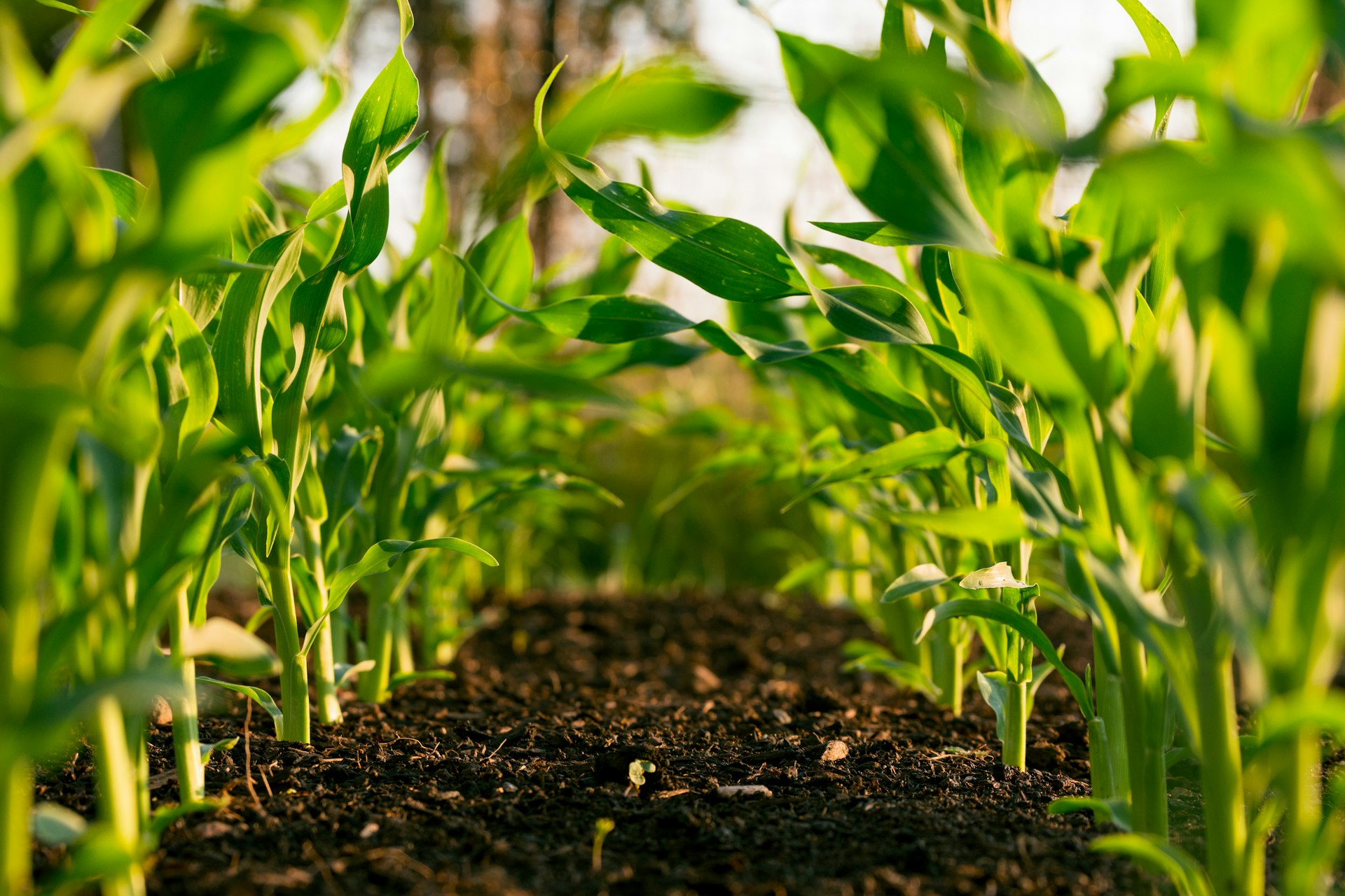
Record Field Observations & Attach Photos
Capture what you see in the field with geo-located observations and photo documentation. Tag each observation with a GPS location, choose from customisable observation types, and attach structured notes. Build a searchable history of field conditions ideal for crop scouting and reporting. Explore all features.
Observations are linked to specific fields and can be filtered by type, date, or location. Over time, you build a knowledge base that helps you spot patterns, compare seasons, and make informed decisions. Ideal for agronomists conducting field trials or farm advisors documenting field visits.
Record Observations & Track Tasks on the Go
Take FarmDataViewer into the field with the farm management app for Android and iOS. Record observations, track tasks, and capture photos — all with automatic GPS tagging. Your data syncs in real time with the web platform, so your team always has the latest information. Get the app.
The mobile app is designed for use in the field — even with gloves on. Quick observation entry, offline support for areas with limited connectivity, and automatic photo geotagging mean you spend less time on data entry and more time on what matters.
Use Cases
Crop Scouting
Record observations with photos and GPS location while walking your fields.
Field Trials
Plan trials, record results, and export structured data for analysis.
Field Diary
Keep a digital record of everything that happens on your fields, season after season.
Farm Planning
Plan field operations, assign tasks, and track progress across your team.
Precision Agriculture
Integrate field data with external tools via the API for data-driven decisions.